EuroVelo 10: Route, Map and Baltic Stages
EuroVelo 10 circles the Baltic Sea for about 9,100 km through nine countries: the whole route and its map, then the Baltic stages from Nida to Narva in depth.
Quick links
Don't want to read all this?
We've planned 800+ cycling trips. Send your dates, fitness and group size — we'll map the route and book every night.


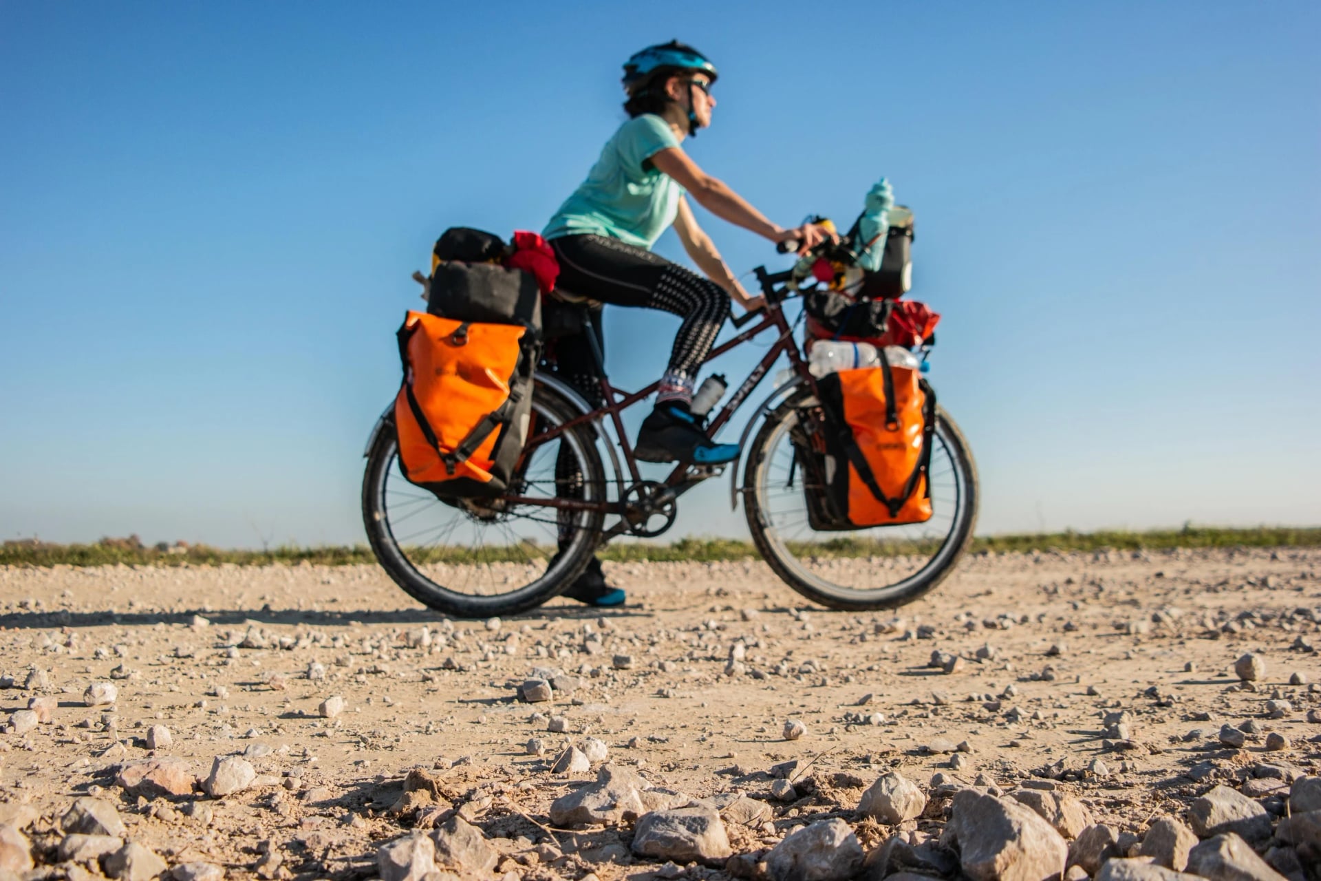
The EuroVelo 10 Baltic Sea Cycle Route is a long-distance bike route that circles the Baltic Sea through nine countries. In the Baltic states it runs over 1,700 km up the east shore through three countries, from the dunes of the Curonian Spit in Lithuania to the border town of Narva in Estonia.
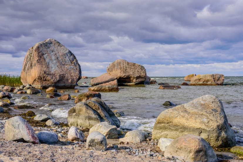
Riders come for a coast that stays in sight for days: pine forest down to pale sand, fishing villages, Riga's old town and the islands of western Estonia. It starts on a UNESCO-listed spit with the highest drifting dunes in Europe, and in June the light lasts up to 19 hours.
In English it also goes by the Baltic cycle route or the Baltic bike route. Most riders pick one of its three parts for a week rather than the whole line.
The Whole EuroVelo 10 Route
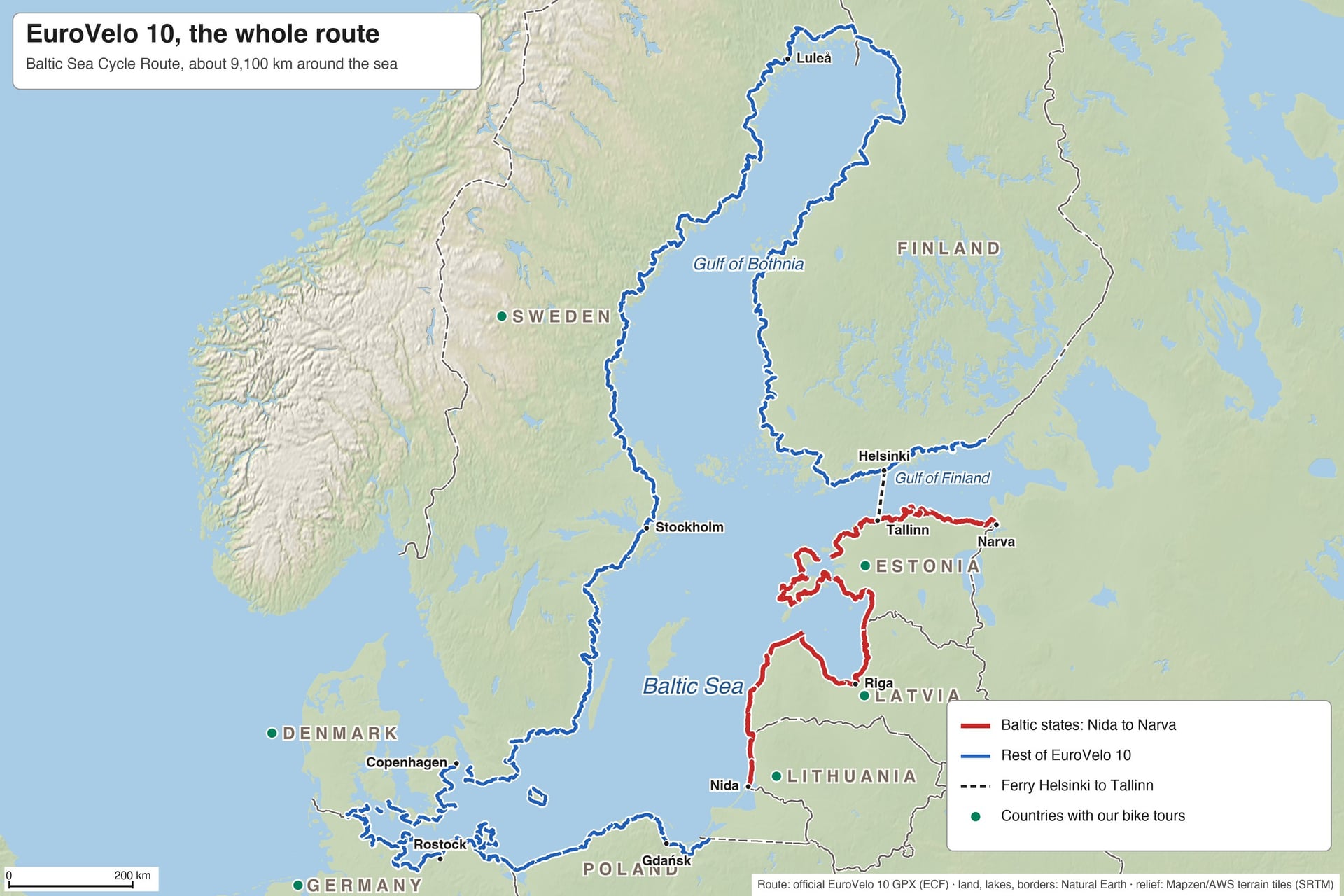
EuroVelo 10 is a loop of about 9,100 km round the Baltic Sea, by EuroVelo's own figure, and it passes through nine countries. It has no fixed start or direction.
EuroVelo's stage list begins in Stockholm, runs north round the Gulf of Bothnia and through Finland, comes down the east shore through the Baltic states, then turns west along the Polish, German and Danish coasts and back up Sweden.
Few people ride the loop in one go. At 60 to 70 km a day the whole loop takes four to five months, so most riders choose one country or one coast for a week or two.
The map shows the whole loop: the Baltic states from Nida to Narva in red, the rest of EuroVelo 10 in blue, the Helsinki to Tallinn ferry dashed, and a green dot in each country where we sell bike tours.
EuroVelo 10 Stages by Country
Stage | Distance | What you ride |
Sweden: Stockholm to Haparanda | about 1,450 km | The Stockholm archipelago, then forests and river towns up the Gulf of Bothnia |
Finland: Tornio to Vaalimaa | about 1,600 km | The Bothnian Bay coast, Vaasa, Turku and Helsinki |
Gulf of Finland: Vaalimaa to Narva | about 430 km | Not open to through riders; the ferry from Helsinki to Tallinn links the two sides |
Estonia: Narva to Ikla | 981 km | Signed as National Route 1: Lahemaa, Tallinn and three islands by ferry |
Latvia: Ainaži to Liepāja and the border | about 680 km | Riga, Jūrmala, Cape Kolka and long white beaches |
Lithuania: Būtingė to Nida | just over 100 km | Palanga, Klaipėda and the Curonian Spit |
South of Nida to the Polish border | about 230 km | Not open to through riders; EuroVelo suggests a detour of its own |
Poland: Braniewo to Świnoujście | about 590 km | Sandy beaches and Gdańsk, shared with EuroVelo 13 |
Germany: Usedom to Flensburg | about 1,090 km | Rügen, Stralsund, Rostock, Lübeck and Kiel |
Denmark: Padborg to Copenhagen, with Bornholm | about 620 km | Island-hopping on national route 8, with bridges and short ferries |
Sweden: Malmö to Stockholm | about 1,060 km | The south coast, Karlskrona and the archipelago north of Västervik |
The table follows EuroVelo's own order from Stockholm, so the Baltic states appear north to south; the rest of this guide rides them south to north, as most riders do. Estonia, Latvia, Lithuania and Finland carry EuroVelo's own figures and the other rows are measured on EuroVelo's map file, so treat every row as a round figure.
Two sections of the loop are not open to through riders: the Gulf of Finland coast between Vaalimaa and Narva, and the stretch south of the Curonian Spit. Most riders link the open parts by ferry or train, as described under Closed Border Sections below.
Our sister brands ride three more countries on the loop: Sweden Bike Tours in Sweden, Denmark Bike Tours in Denmark and Bike Tours Germany in Germany.
Want more of the loop? If you would like a custom trip across the Baltic states and these three countries, or to ride the route slowly over a few of our tours, we can link them into one journey and plan the days in between.
The rest of this guide covers the Baltic stages from Nida to Narva in depth, the part of the route our own tours ride.
EuroVelo 10 in Lithuania, Latvia and Estonia
The three countries share one coast but ride very differently, so it helps to know each part before you choose your week. The signs get better the further north you ride: Lithuania is short and well signed, Latvia long and thinly signed, and Estonia signed end to end. The parts run south to north, the direction most riders take.
The map shows the three Baltic parts in their own colours, south to north, with the ferries dashed.
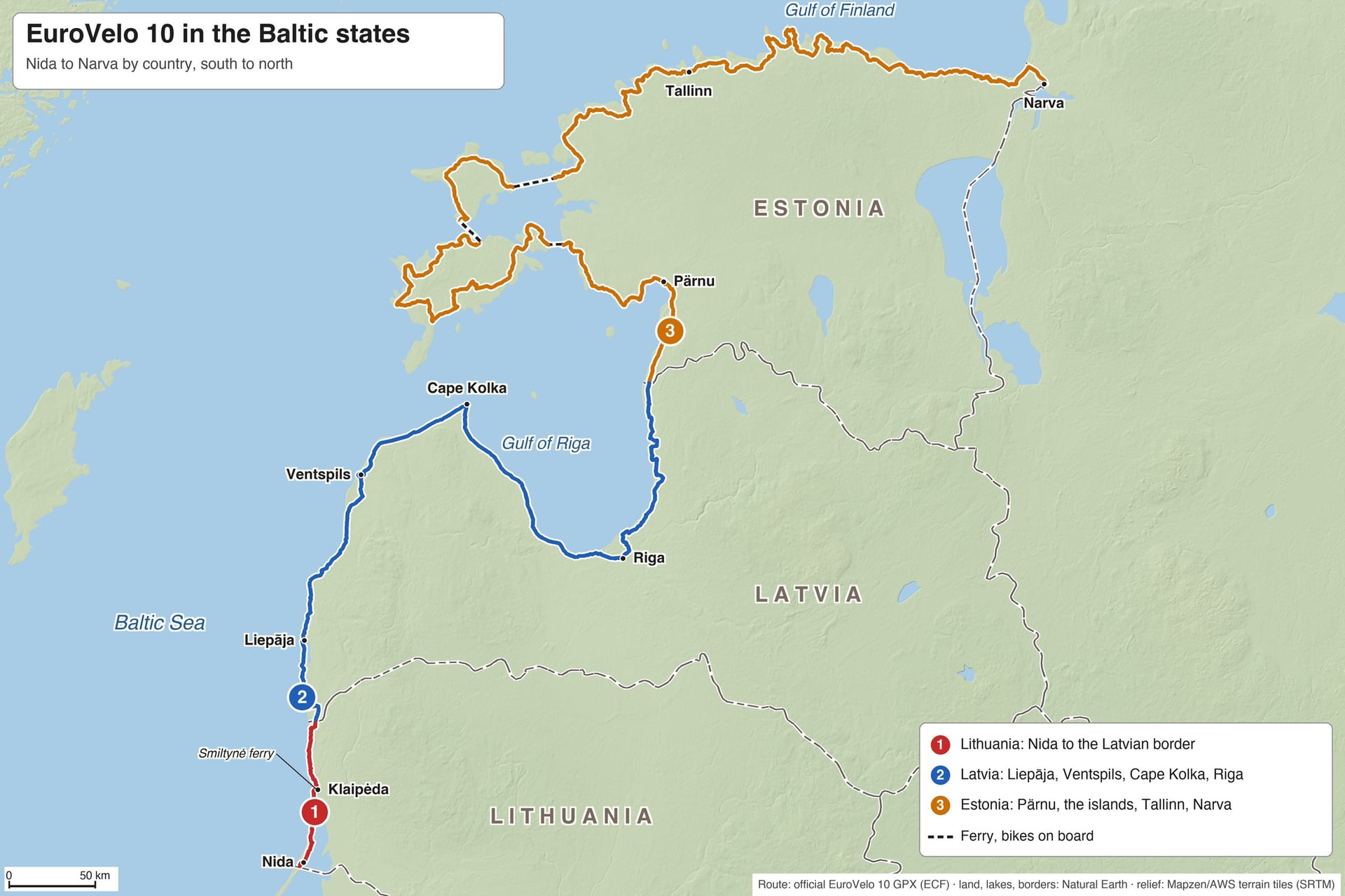
Part 1: Lithuania, Nida to Būtingė
Distance: just over 100 km, from Nida on the Curonian Spit to Būtingė on the Latvian border
Signposting: good, shared with EuroVelo 13 and Lithuania's national route 10
Surface: flat asphalt, almost all of it on a separate cycle path through the pines
Ferries: one, Smiltynė to Klaipėda across the mouth of the lagoon
Overnight towns: Nida, Juodkrantė, Klaipėda and Palanga
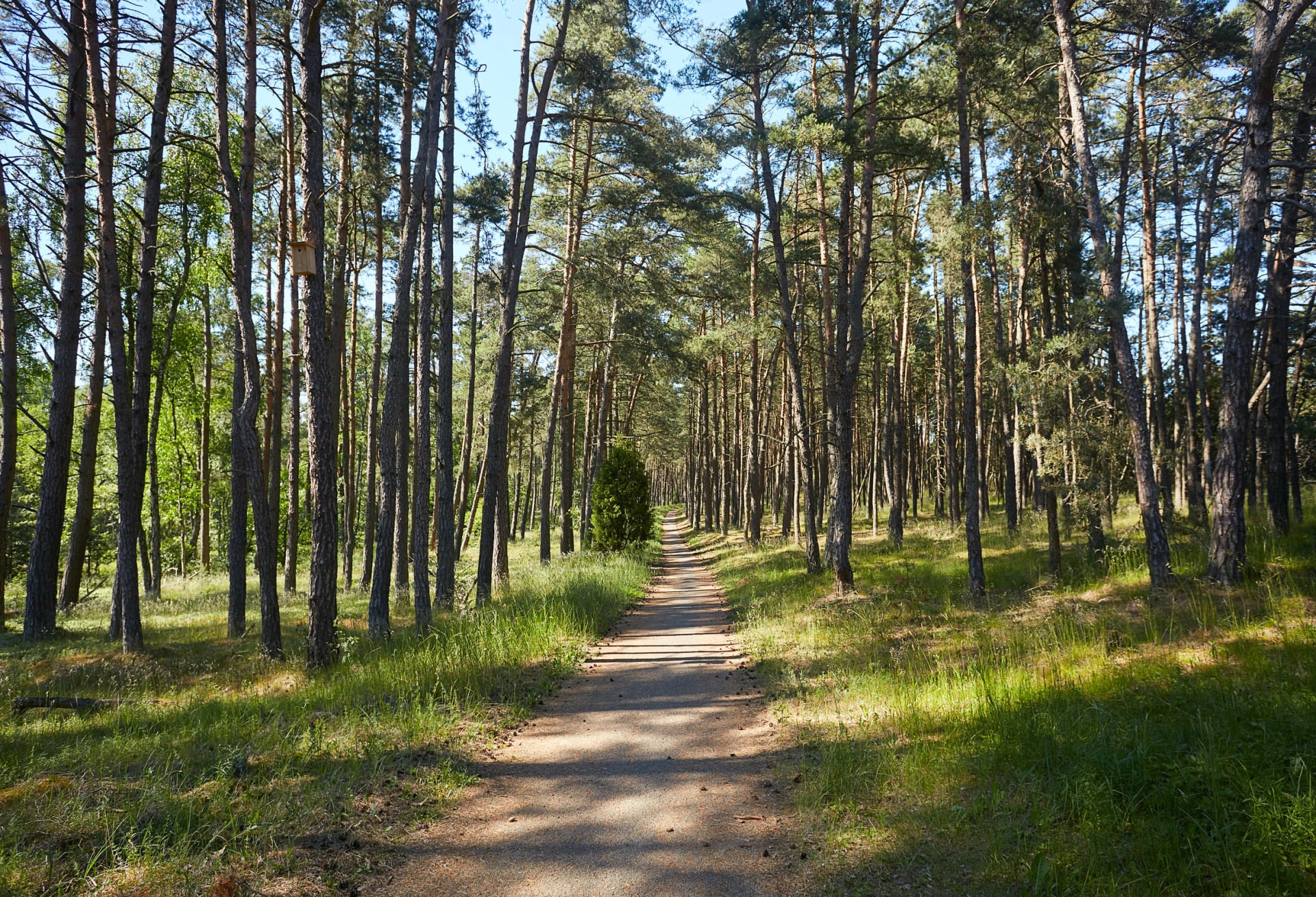
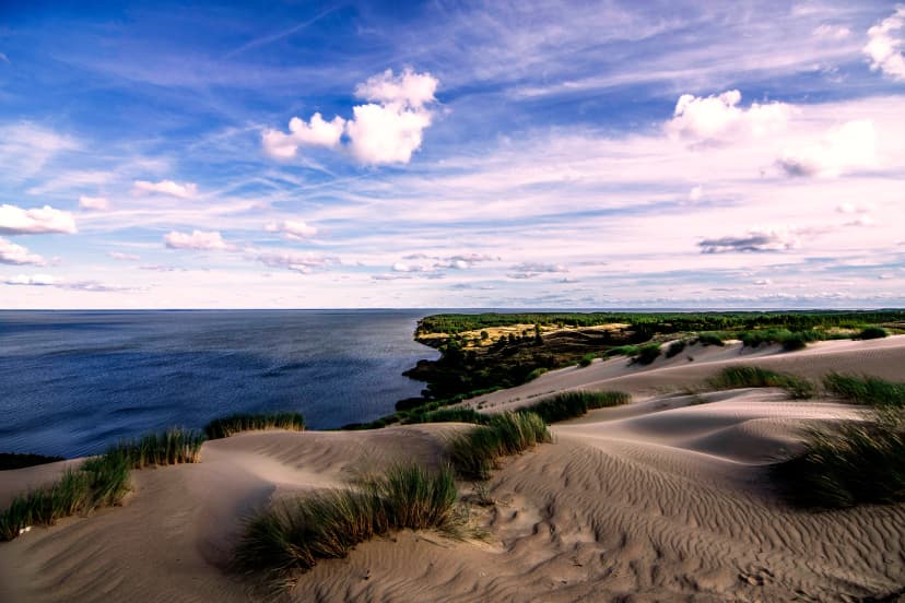
You start on a spit of sand 98 km long, listed by UNESCO in 2000, with dunes up to 60 m high between the lagoon and the sea. Curonian Spit cycling is almost all on a path of its own, through the pines from Nida past Juodkrantė to Smiltynė. Across the lagoon, our guide to cycling in Lithuania covers the Nemunas delta and the mainland shore.
At Smiltynė a short ferry carries you into Klaipėda's old port, and one passenger ticket with a bike covers both. North of the city the path keeps close to the sea for the 29 km to Palanga, past Giruliai and Olandų Kepurė, a dune cliff 24 m high. Palanga is Lithuania's summer resort, with a 470 m pier and an amber museum.
Part 2: Latvia, Būtingė to Ainaži
Distance: about 680 km across Latvia, past Liepāja and Riga to Ainaži on the Estonian border
Signposting: sparse outside towns, so carry the route on your phone
Surface: asphalt with sand and gravel stretches, and firm beach in places
Ferries: none
Overnight towns: Liepāja, Pāvilosta, Ventspils, Kolka, Jūrmala, Riga and Salacgrīva
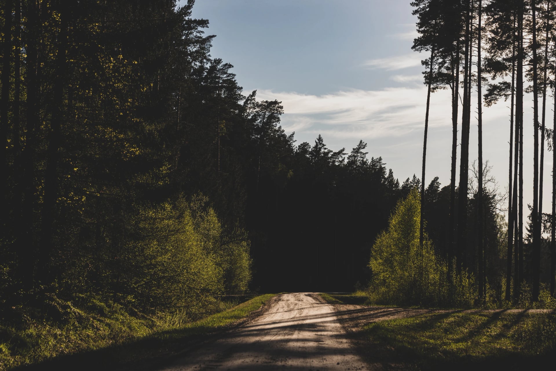
Latvia holds the longest and least-known part of the route. About a third of it follows the sea on white-sand beaches, and in places the sand by the water is firm enough to ride. EuroVelo's own track keeps to the coast through Pāvilosta, Ventspils and Cape Kolka, where the Gulf of Riga meets the open sea.
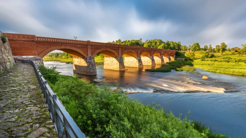
The official Latvia page also names Kuldīga and Kandava, inland. Many riders detour for Kuldīga's wooden old town, UNESCO-listed in 2023, and the Venta Rapid, the widest waterfall in Europe at 249 m. The coast line is wilder: a rider in June 2025 found almost no signs outside towns and about 80 km of forest between Ventspils and Kolka with nowhere to stop.
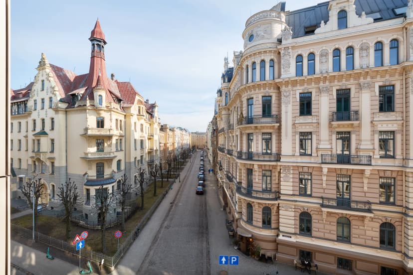
Riga sits between the two halves of the Latvian coast. Jūrmala's 33 km of beach runs into the city from the west. Vivi, Latvia's national rail operator, runs trains from Tukums and Jūrmala into Riga, so the last stretch into the capital can go by train.
Part 3: Estonia, Ikla to Narva
Distance: 981 km on Estonia's National Route 1, from Ikla to Narva
Signposting: complete, the best in the Baltic states
Surface: mostly quiet paved roads and cycle paths, with short gravel and forest stretches
Ferries: three, Virtsu to Kuivastu, Triigi to Sõru and Heltermaa to Rohuküla
Overnight towns: Pärnu, Kuressaare, Kärdla, Haapsalu, Tallinn and Narva
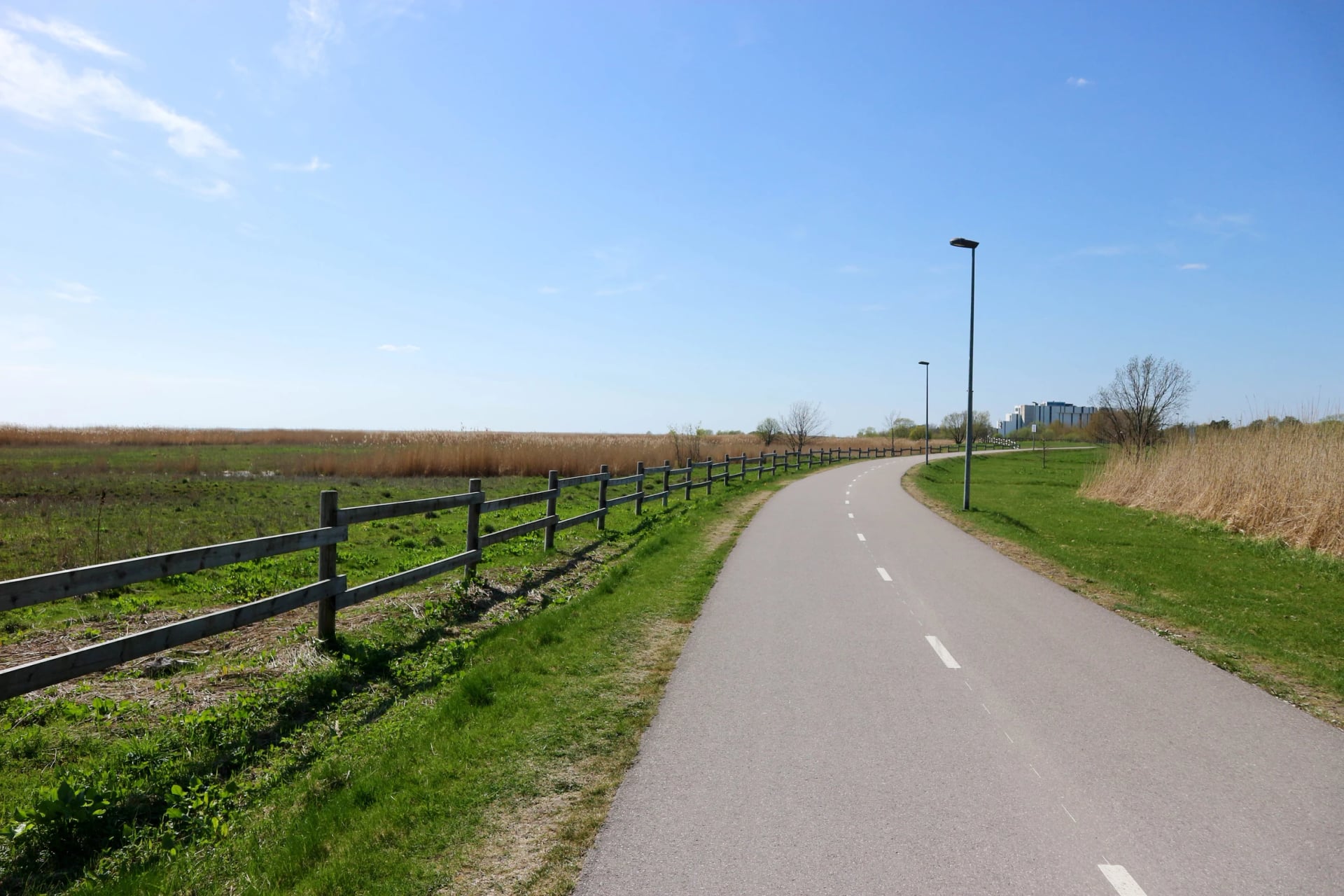
Estonia finished its part of the EuroVelo 10 route in 2001 and signs it as National Route 1 all the way. From the border at Ikla the first 30 km are a quiet coast road, then 19 km of main highway, then cycle paths into Pärnu, the country's summer capital.
Past Pärnu the route turns to the islands. The ferry from Virtsu lands on Muhu after 27 minutes, and a causeway opened in 1896 carries you on to Saaremaa. There the route loops 280 km round the big island, past Kuressaare's bishop's castle.
A smaller boat of about an hour crosses from Triigi to Sõru on Hiiumaa. From there a ferry of 1 hour 15 minutes returns you to the mainland at Rohuküla. Our guide to cycling in Estonia has more on all three islands.
Forest and coast roads lead on past Haapsalu and the Keila waterfall to Tallinn. East of the capital the route crosses Lahemaa, Estonia's first national park, founded in 1971, and the limestone cliffs of the north coast. It then runs through the industrial east to Narva, where it ends for riders.
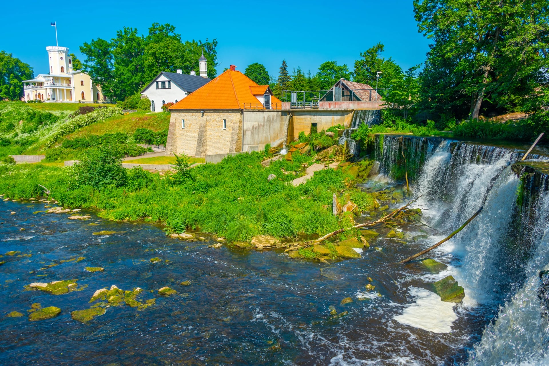
Two places in Estonia are worth an afternoon off the bike:
How Many Days Do You Need?
Your riding days depend on the part you pick and the pace you like. The table splits Estonia into the six sections that Visit Estonia uses, the last two joined, and counts days at 60 to 70 km.
Stretch | Distance | Riding days |
Nida to Būtingė, Lithuania | just over 100 km | 2 |
Būtingė to Ainaži via Kolka and Riga, Latvia | about 680 km | 10 to 11 |
Ikla to Virtsu via Pärnu, Estonia | 164 km | 3 |
Muhu, Saaremaa and Hiiumaa | 450 km, 280 km of it round Saaremaa | 7 |
Rohuküla to Tallinn via Haapsalu | 170 km | 3 |
Tallinn to Narva via Lahemaa | 310 km | 5 |
The whole Baltic stretch takes about four weeks, and most riders choose one part for a week of 250 to 500 km.
How Hard Is EuroVelo 10?
The Baltic coast is flat, and no point in the three countries reaches 320 m. Wind, sand and traffic set the effort on most days, and a fit beginner can ride most of the line on asphalt and cycle paths.
Signs and Waymarking
Lithuania and Estonia carry EuroVelo 10 and 13 signs, and Estonia adds National Route 1, but Latvia's signs are sparse outside towns. Keep the route on a phone or bike computer, because Latvian signs alone will not get you through.
Traffic and Main Roads
Most of the route uses quiet roads, but two main-road stretches carry heavy trucks. In Estonia the line runs 19 km on the highway between Ikla and Pärnu, and in Latvia it shares the Via Baltica between Saulkrasti and Ainaži.
Riders there in September 2024 found a shoulder of about 60 cm and trucks even on a Sunday. A parallel side road near the border avoids part of it.
Sand and Gravel
Soft surfaces are short but slow, so plan a shorter day around them. Expect sand on Latvia's coast after Liepāja. Saaremaa's Sõrve peninsula has about 15 km of dusty gravel, and 9 km of rough forest road runs between Spithami and Nõva.
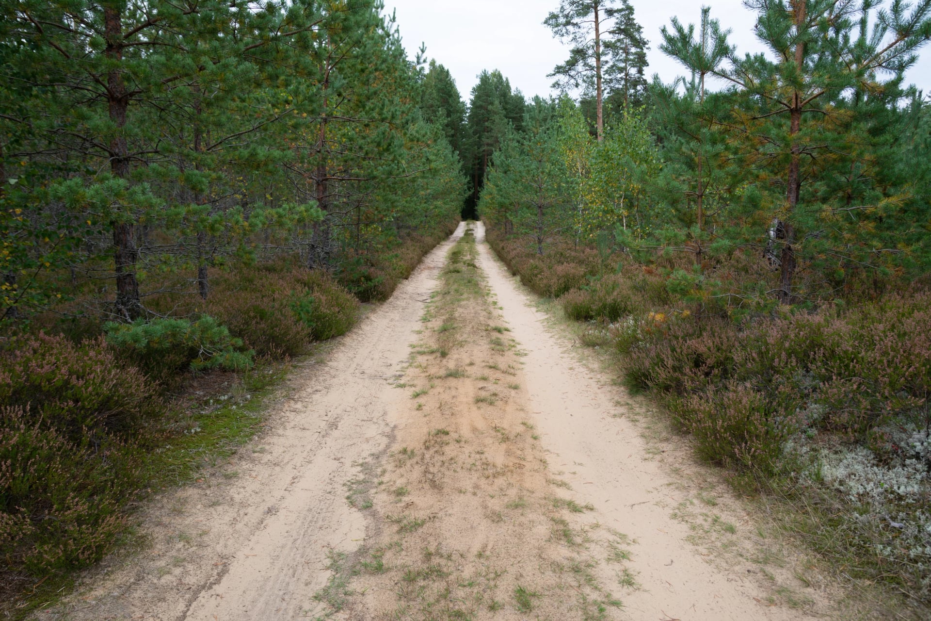
Near Saulkrasti, two riders in September 2024 met a forest trail of deep sand where pushing was slower than walking. A trekking or gravel bike with wide tyres handles all of it; slick road tyres struggle in the Latvian sand.
Closed Border Sections
Two parts of EuroVelo 10 run beyond a border that EuroVelo advises riders not to cross at present. In the south that means the southern half of the Curonian Spit, and riders heading for Poland take a 527 km alternative from Neringa to Braniewo.
In the north the route ends for riders at Narva, where the border crossing has restrictions. EuroVelo suggests the ferry from Tallinn to Helsinki to carry on into Finland.
Best Time to Ride EuroVelo 10
From May to September the coast guesthouses are open and the island ferries run their summer timetables, so that is the season to ride. Riga's monthly averages from Weather2Travel show what to expect, and by the sea it feels a degree or two cooler.
Month | Day and night in Riga | Daylight, rain days |
May | 17 °C and 6 °C | 17 hours, 11 rain days |
June | 20 °C and 10 °C | 18 hours, 12 rain days |
July | 21 °C and 12 °C | 17 hours, 14 rain days |
August | 21 °C and 12 °C | 15 hours, 15 rain days |
September | 16 °C and 8 °C | 13 hours, 16 rain days |
June brings the longest light and Midsummer on 23 and 24 June, when much of the region stops for the holiday. Pärnu's beach and the other resorts are at their fullest in July and August, the two warmest months. September is quiet and still mild, with shorter days.
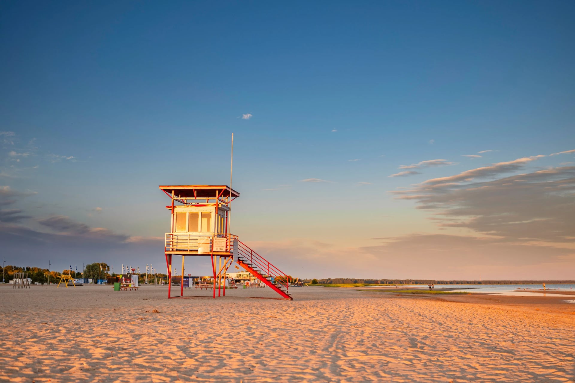
South-westerly and westerly winds are the most common along this coast. A rider heading north-east up the shore has the south-westerly behind, which is why most people ride from Lithuania towards Estonia.
Know Before You Arrive
The practical side of EuroVelo 10 comes down to four things: how you reach it, the ferries on it, where you sleep and what you carry.
Getting There and Back
The route suits a one-way ride, because each capital has an airport and the ferries carry bikes. Riga sits about 300 km by road from both Vilnius and Tallinn.
By ferry from Germany or Sweden: DFDS sails to Klaipėda from Kiel, Karlshamn and Trelleborg, so you can ride off the boat onto the route.
By air: Vilnius, Riga and Tallinn have the main airports, and Palanga's small airport sits right on the Lithuanian coast.
From Finland: ferries cross from Helsinki to Tallinn, the way EuroVelo suggests around the closed section in the north.
Between the capitals: buses and some trains link Vilnius, Riga and Tallinn, and each operator sets its own rules for bikes.
Ferries on the Route
Four ferries carry EuroVelo 10 in the Baltic states: the short Smiltynė crossing into Klaipėda and three boats to and between the Estonian islands. Plan the island crossings ahead, because the boats fill up on summer weekends.
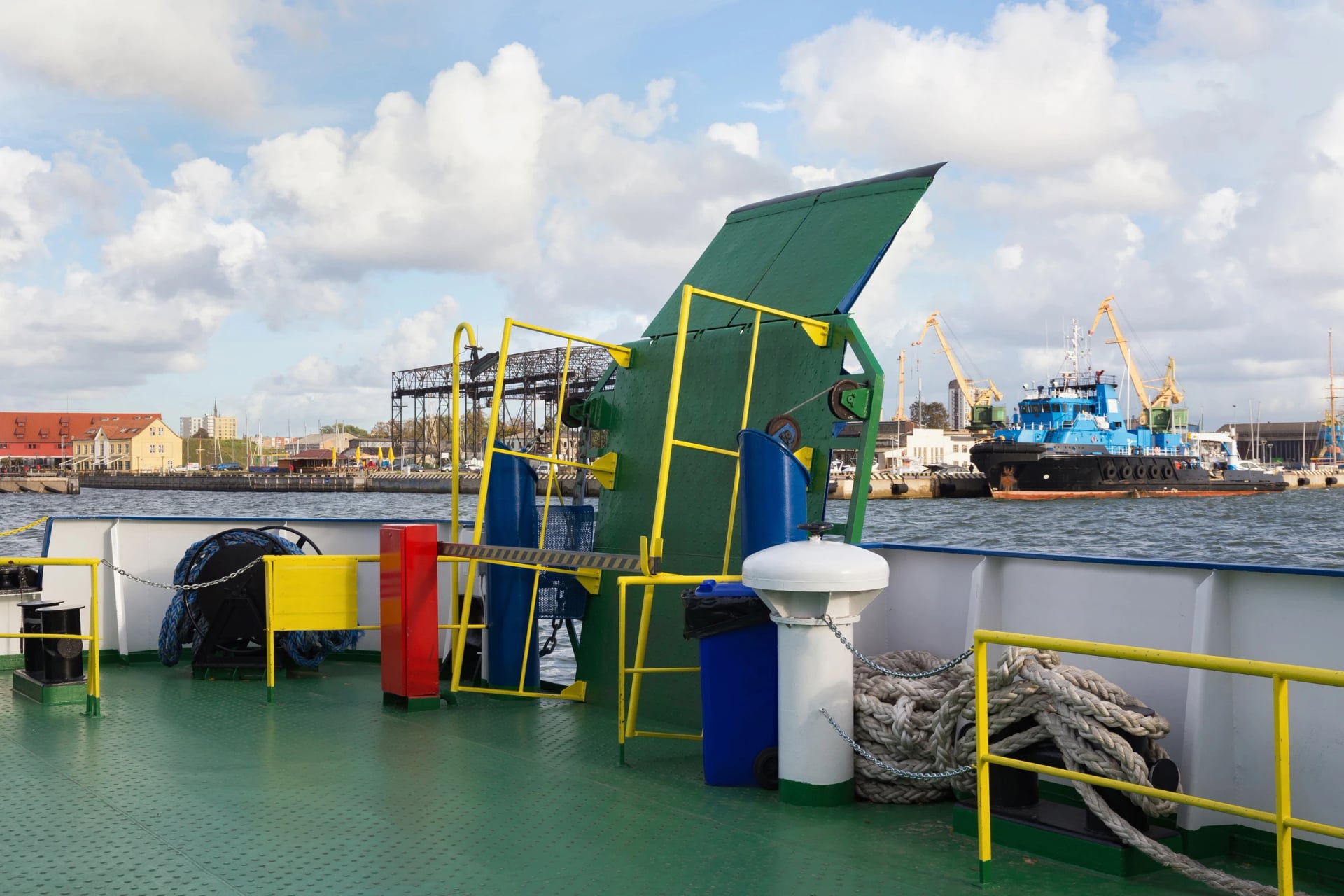
The state ferries between Virtsu and Muhu and between Hiiumaa and Rohuküla are booked through Praamid. It sells up to 70% of each sailing online and keeps the rest for the port office.
The Triigi to Sõru boat between Saaremaa and Hiiumaa is smaller and sails only a few times a day, so book each crossing before the day you ride it. Prefer it arranged? Send us your travel dates, and we will line up the boats, the beds and the route for you.
Where to Sleep
Finding a bed is simple in Riga, Tallinn and the beach resorts, and harder on the islands and the wild Latvian coast. Book the beach towns first in June and July: Nida has few rooms, and they go early. On Hiiumaa, Muhu and the Varbla shore the guesthouses are small, and several open in summer only.
North of Ventspils the Latvian coast has stretches of 60 to 80 km with few villages, so plan those nights before you leave. In Estonia, look for the Cyclist Welcome label, a national scheme for places that cater for riders.
What to Pack
Summer on this coast is mild, so pack your panniers for wind and rain rather than heat. Riga sees rain on 11 to 16 days a month from May to September.
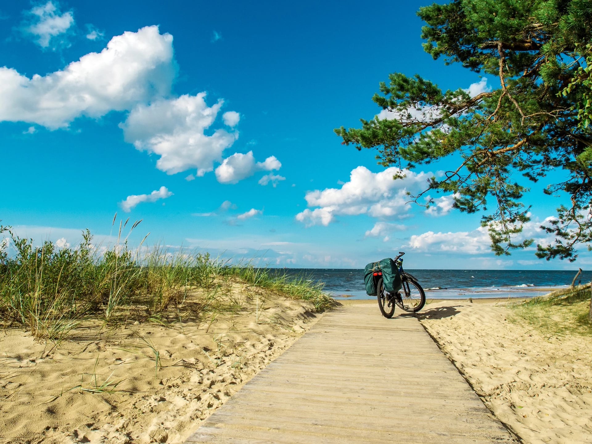
For any multi-day ride:
Rain shell and a fleece, because the breeze off the Baltic cools the long June evenings
A pump, spare tubes and a multi-tool, because the forest between Ventspils and Kolka has no bike shop
A lock for café and museum stops in Riga's old town, Kuressaare and Tallinn
Phone with the route loaded and a power bank
For EuroVelo 10:
Insect repellent, because forests and lakes bring mosquitoes in June and July
High-factor sun cream, as the beach paths have little shade and the June sun sets late
Swimwear and a towel, since most of the route runs within a few minutes of a beach
Food and water for the Latvian coast, where some stretches run 60 to 80 km between shops
Where to Start on EuroVelo 10
A week is enough for one part of the route, so the real choice is which one. Riding north from Riga puts the usual wind behind you, crosses into Estonia at Ikla, where the best signs on the route begin, and reaches Pärnu's beach.
Our self-guided Riga to Tallinn: Gulf to Gulf rides that way. It follows EuroVelo 10 from Ainaži through Pärnu to the Varbla shore, then crosses Matsalu and Haapsalu to Tallinn's medieval walls:
Season: June to September
Route: Riga to Tallinn, about 440 km in daily stages of 40 to 67 km
Nights: 3- and 4-star hotels and guesthouses
Included: a rental bike, a digital guidebook, the route in a GPS app and help on the road throughout
For the islands, the Estonian Islands Bike Tour rides Hiiumaa, Saaremaa and Muhu between Haapsalu and Pärnu. To talk through which part of the coast suits you, book a short call with us.
Somewhere past Ainaži the road signs switch from Latvian to Estonian, the forest opens onto the Gulf of Riga, and Pärnu's long beach is an afternoon's ride away.
Frequently Asked Questions



Plan with a cycling expert
Free advice from a team that knows these routes inside out - real people, not a bot

Hassle-Free
We take care of route planning, accommodations and all logistics, so you can focus purely on enjoying your ride.

Tried & Tested Adventures
Our cycling routes are hand-picked & tested, to ensure breathtaking landscapes, smooth roads, and maximum safety - giving you the perfect ride every day.

Unbeatable Support
Our 24/7 customer support is where we show our passion, ensuring your cycling holiday runs smoothly and your well-being is always our top priority.

Book with Confidence
We are a financially protected company, fully bonded and insured, keeping your money safe and allowing you to travel with confidence.